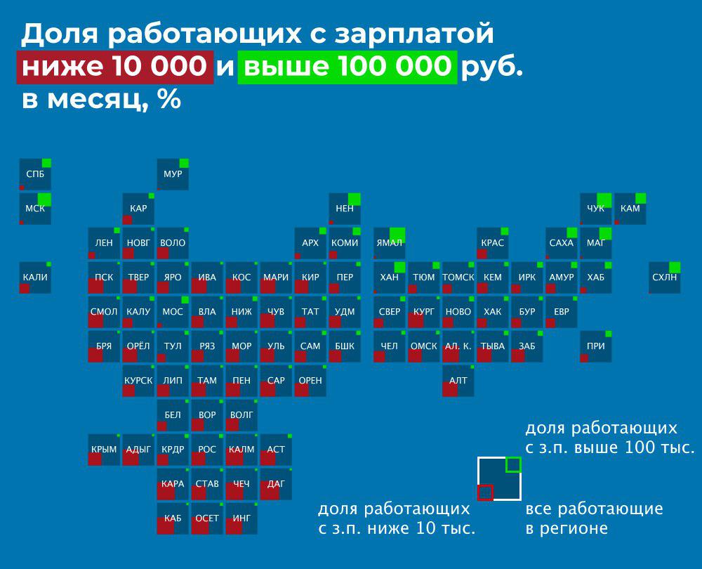
Tiled map is not а new form of data visualization on map, I know. Many have seen similar examples with a US map (shape and size of the States are very convenient for such a form of visualization, I think).
Some time ago Russian infographers were concerned about creating a tiled map visualisation for teritory of Russia.
A tiled map allows you to save a conditional geolocation, but not to affect the viewer with size of the area (the size of the area is not necessary for many types of visualisations)
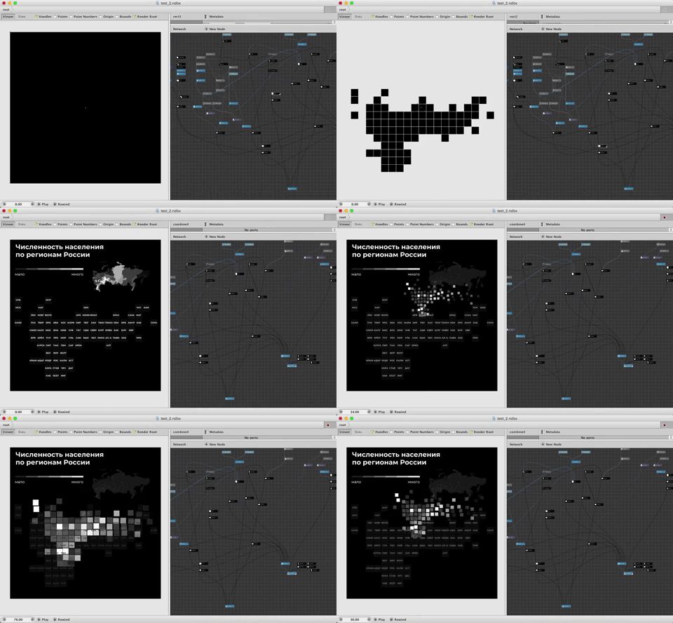
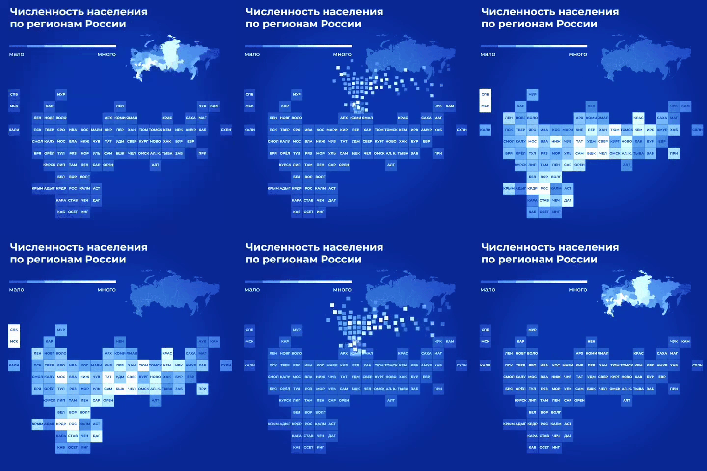
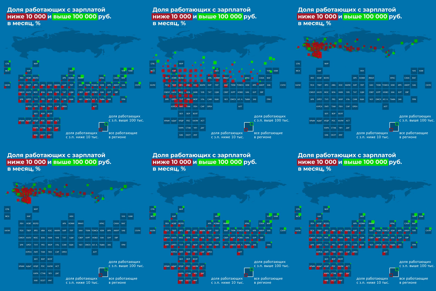
I made a template with animation for such a visualization in the Nodebox
Layout of the tiled map by Ivan Dianov
text about the process of creating
Now it is tiled map of the territory of Russia is an unusual and controversial kind of cartogram for this country, but some news agency's start to use it.